Data & Pricing
GIS Service Pricing
- Custom Map Design Rate: $60 per hour ($15.00 minimum) Print Cost per page.
- Standard Prints: Standard Prints only involve the media costs.
- Geographic Analysis: Work related to database development, analysis, or manipulation will be billed at a rate of $100.00 per hour ($30.00 minimum).
- Shipping: Appropriate postage will be added to all orders requiring shipping.
- Alternate Formats: Maps can be delivered in digital formats. Custom map design and analysis rates would apply.
| Product | Cost Plain Paper |
Photo Gloss Paper |
|
| Map | Letter or Legal | $1 | N/A |
| Map | Tabloid | $2 | N/A |
| Map | 24" Roll | $10 | $15 |
| Map | 36" Roll | $15 | $20 |
| Map | 42" Roll | $20 | $25 |
GIS Digital Data Costs
- License Agreement: All data transactions require a single license agreement prior to delivery.
- Data Format: The data will be provided in either shapefile or geodatabase format.
- Coordinate System: All data will be delivered in Iowa State Plane South NAD83.
- Payments: Make checks payable to Des Moines County GIS Commission.
- Shipping: Media and shipping costs are included in the pricing below.
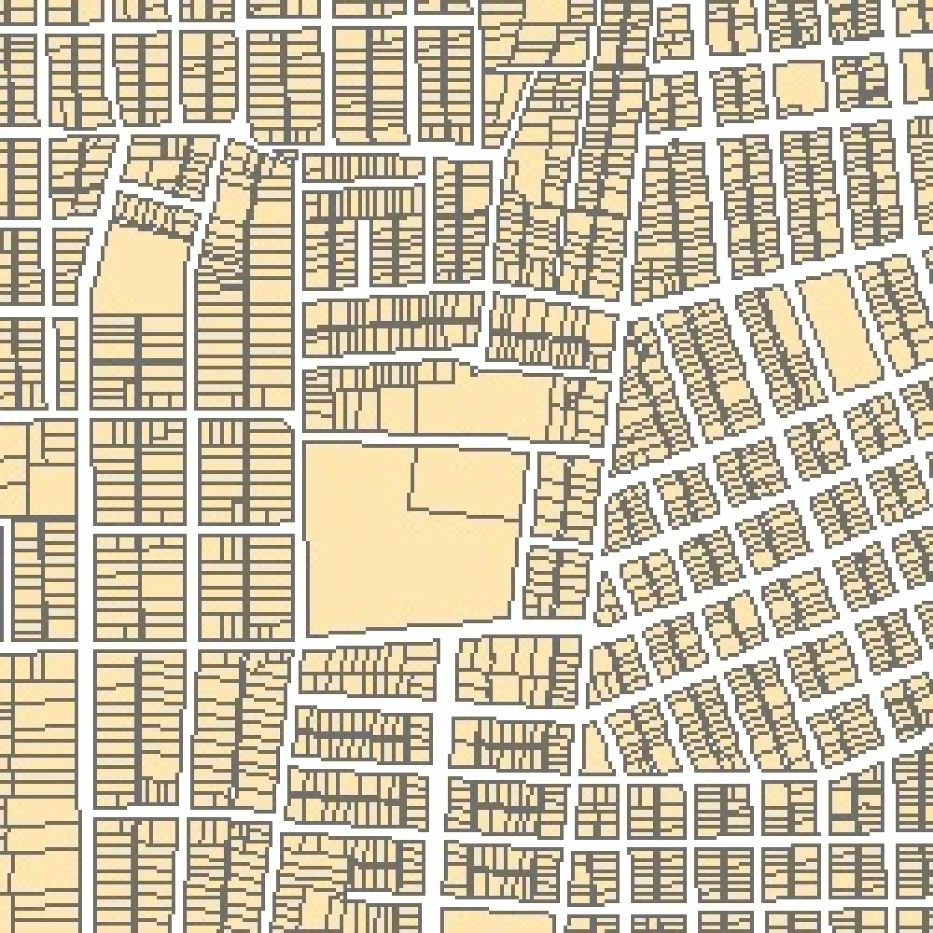 Real Estate
- Selected Parcel Polygons
Without attached data: $50; $0.01 per parcel
With attached data: $50; $0.05 per parcel - Parcel Polygons Countywide
Without attached data: $500
With attached data: $1,200 - Subdivisions
$50
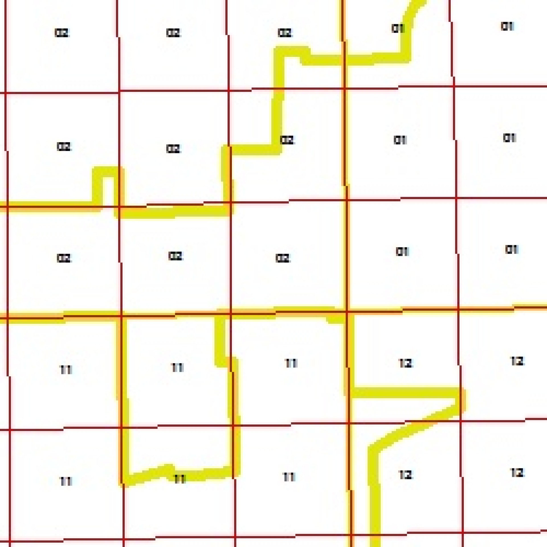 Public Land Survey
- Complete PLSS in Shapefile format: $50
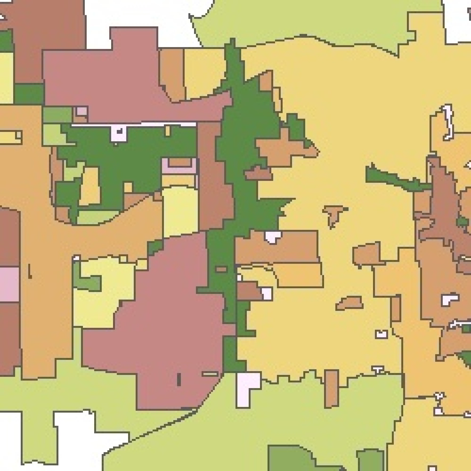 Administrative Boundaries
- Political Townships and Corporate Limits: $50
- Voting Precinct: $50
- Schooling Districts: $50
- Fire Districts: $50
- TIF Districts: $50
- Zoning/Land Use: $50
- Flood Plain Data: $50
Transportation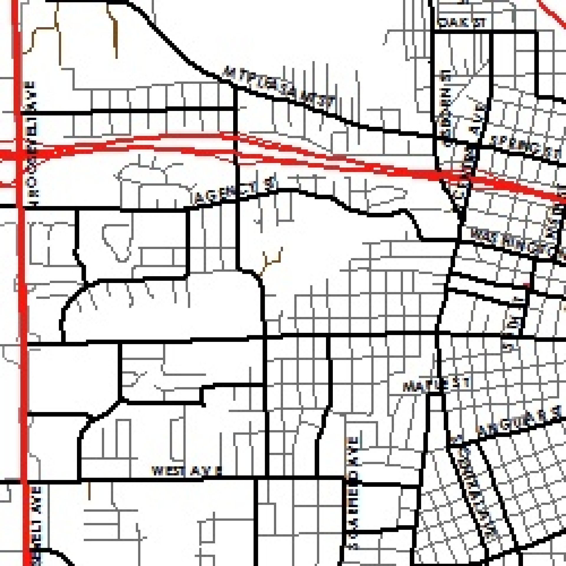
- County Road Centerlines (addressed): $250
- Railroad Centerlines: $50
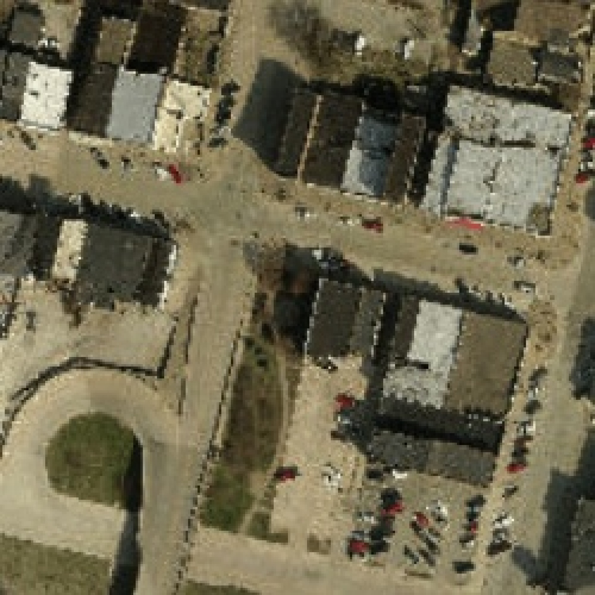 Orthophotography (Countywide)
- Color Countywide Aerials (SID Format)
2015: $1,200
2012: $1,000
2010: $500
2009: $200 - Color Aerial Single Image (SID Format)
2015: $40
2012: $150
2010: $150
2009: $50 - Single Image Conversion to Desired Format
2015: $50 - Individual JPEG Tiles 1 or .5 mile square
2012: $50
2010: $30
2009: $10
Miscellaneous Layers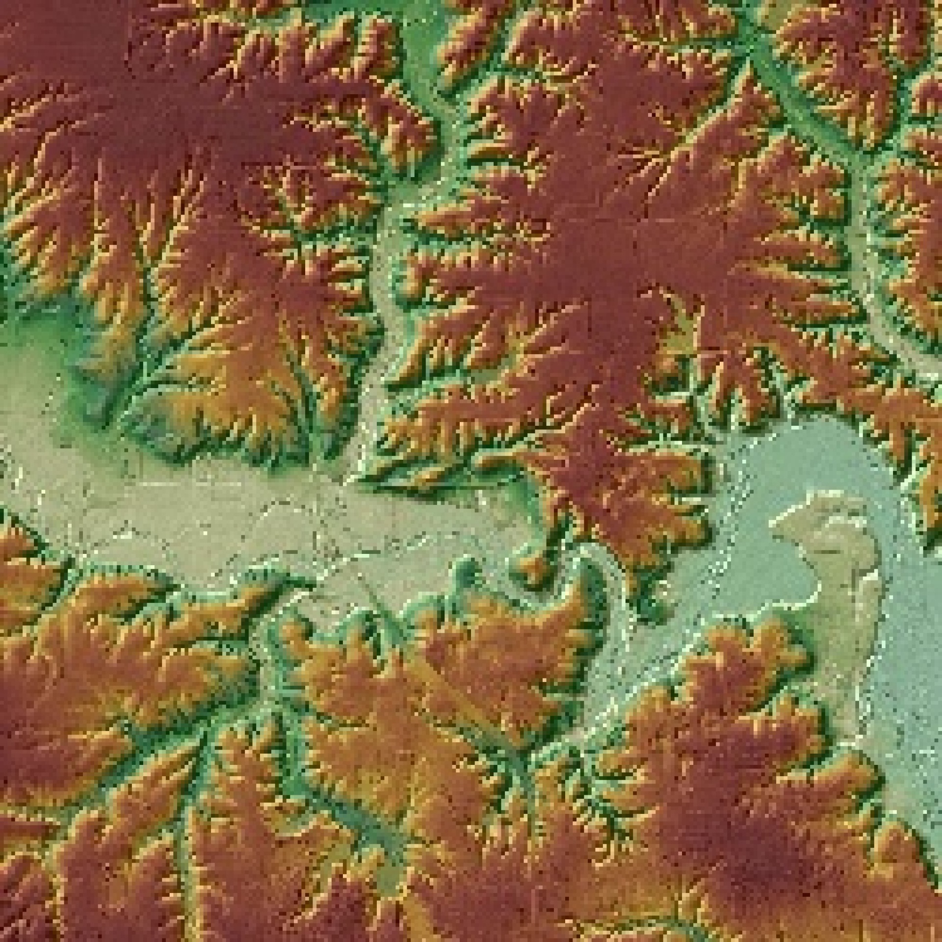
- Any additional layers not listed: Contact for more pricing information
Cost Exempt List for Data Purchasing
The following types of organizations are exempt from GIS data costs. Exempt organizations are still required to sign a Geographic Datasets Licensing Agreement and may be subject to standard processing fees.
- Des Moines County GIS Commission Member Entities
- State Agency
- Federal Agency
- School District
- Tax Supported University or Community College
Contractors may be granted access to the data at no cost if they are conducting work on behalf of an exempt organization. The exempt organization must make a formal request for the data and have a signed license agreement on file with the Des Moines County GIS Commission.

